Much of the geologic history in the rocks of this area remains buried beneath an enormous blanket of debris left by the last continental glaciation. 20,000 years ago a mile-thick sheet of ice covered the area. As the ice flowed southward, it rounded of the hills and distributed the erosion products as a layer of glacial till over the entire area.
By 15,000 years ago, the climate had warmed slightly, and the ice began to melt back from it’s most southern advance. During the next 1,000 years, the ice front continued to retreat northward, exposing the route of the Midstate Trail.
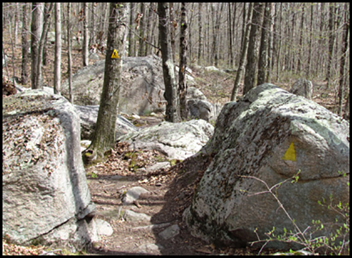
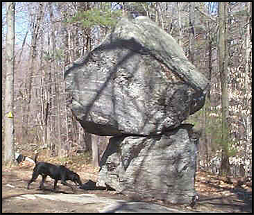
The enormous weight and force of the glacier ground it’s way slowly across the countryside scouring the soil off hills and exposing the granite bedrock. It reshaped hills and valleys; it also caught up large stones and boulders, moving them long distances before depositing them as the ice melted. Enormous quantities of sand and gravel from the melting glacier were washed down the valley. In many places the glacial deposits disrupted the well developed pre-glacial drainage, and as a result many small lakes are present throughout the area. Evidence of the glaciers exist all along the Midstate Trail. Some of the clues to the icy past include: monadnocks, erratic boulders, drumlins, and kettle ponds.